The Lake Luxembourg Story, an interactive StoryMap and a 10 minute podcast!
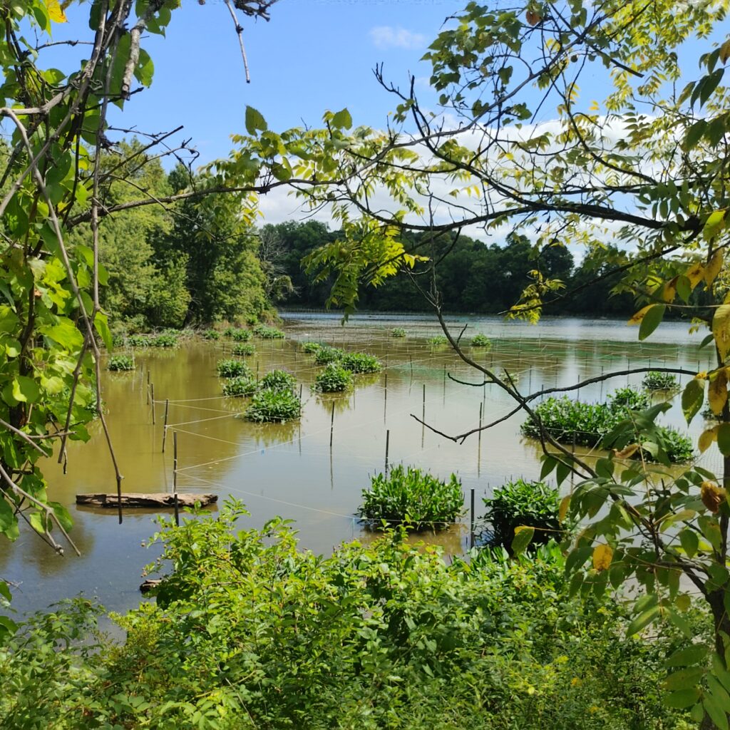
The Bucks County Conservation District, in collaboration with Bucks County Planning Commission and Princeton Hydro, has launched an interactive ArcGIS StoryMap showcasing the Lake Luxembourg Conservation Pool Restoration Project. This engaging web application weaves together interactive storytelling, multimedia, charts, diagrams, and dynamic web maps to provide an in-depth look at the decade-long journey to restore Lake Luxembourg’s Conservation Pool.
Designed as a publicly accessible resource, the StoryMap allows users to explore project details in an intuitive, interactive format—zooming and panning through specific project areas, viewing site attributes, and navigating restoration initiatives without the need for specialized GIS software or training. Its goal is to connect the community with its watershed, showcase the significance of restoration efforts, and inspire environmental stewardship.
Short on time but want to hear about the project, listen to an AI -Generated Podcast that gives you the highlights.